
Schalkenmehrener Drees On The Winkelbach
The forgotten Schalkenmehren Drees On The Winkelbach was “rediscovered” by Schalkenmehren citizens Werner and Katharina Zillgen in 1990 and provided with a source version. The Drees was recast in the summer of 2020.
Info
- Coordinates: N 50° 10' 5.862 E 6° 49' 51.8268
- Municipality/location: Schalkenmehren
- Altitude: 401 m above sea level. NN
- Water type:
- Water temp:
-


Schalkenmehrener Drees © Natur- und Geopark Vulkaneifel GmbH, Kappest
-

Schalkenmehrener Drees © Natur- und Geopark Vulkaneifel GmbH, Kappest
The Lieser valley network with its tributaries and the outlets of the carbon dioxide-containing mineral water springs, called “Drees” here in the Volcanic Eifel, are very clearly oriented towards two fault directions along which the rock deposits have become more fractured and have even moved against each other. It is particularly easy for water to flow along these weak zones in the rock.
Highlights nearby
- Schalkenmehrener Maar
- Weinfelder Maar
- Weinfelder Chapel
- Lookout Castle Dronketurm
- Home Weaving Museum
- Daun-Senheld Airfield
- Hoher List Observatory
Hiking trails
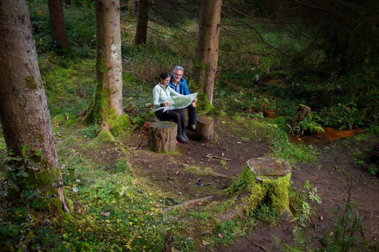
Hiking in the Vulkaneifel is always a pleasure. It's healthy, fun and educational. Embark on one of our hiking trails and you will experience what we mean by that.
-

HeimatSpuren MaareGlück
Rundweg um Schalkenmehren und die Dauner Maare, vorbei an der Sternwarte Hoher List
- Schwierigkeitsgrad:

- Strecke: 10,9 km -
- Dauer: 3,5 Std.
- Aufstieg: 320 hm -
- Abstieg: 320 hm
- Schwierigkeitsgrad:
Directions
Coming from Daun take the L 64 towards Brockscheid. There is a parking lot on the right near the Hoher List Observatory. 200 meters from there follow the “HeimatSpur MaareGlück” hiking trail for approx. 2 km. The Drees is on the left.
Alternatively: Coming from Daun, follow Maarstrasse to the parking lot at the KuliMaarik restaurant, Maarstrasse 7. From there, follow the “HeimatSpur MaareGlück” hiking trail for about 2 km in the direction of Barninerhof/Schalkenmehren.