
Dockweiler Drees Spring in a magical idyll
The location of the Dockweiler Drees in the middle of a wonderful, wooded area and in the immediate vicinity of the “Alte Bach” flowing past can rightly be called idyllic.
Info
- Coordinates: 50°14.597’N, 6°48.721’E
- Municipality/location: Dockweiler
- Altitude: 494 m above sea level
- Water type: sodium-alkaline-earth-bicarbonate-sourling
- Water temp.: 8.2 °C
-

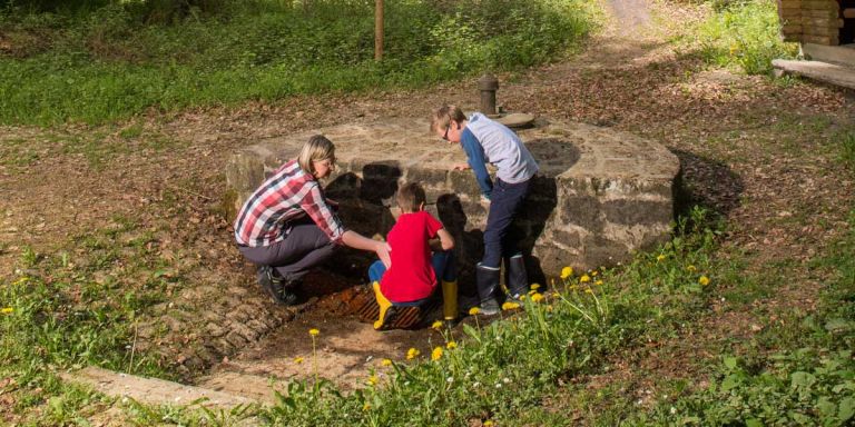
Dockweiler Drees © Natur- und Geopark Vulkaneifel GmbH, Kappest
-

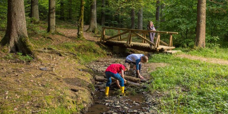
Bach am Dockweiler Drees © Natur- und Geopark Vulkaneifel GmbH, Kappest
About 2 liters of medicinal mineral water flows out of the brick spring surround every minute - a refreshing and tasty drink due to its high mineral content. The rust-red deposits here also show the high iron content of the spring water, which is typical of the Volcanic Eifel. A log cabin was built next to the attractively framed “Dreesquelle”, which was renovated after damage caused by the storm Xynthia in 2010. It offers hikers and nature lovers protection and invites them to linger.
Highlights nearby
Hiking trails
The Mosel-Erft-Lieser hiking trail is right in front of the door. An excitingly designed route, flanked by other hiking routes from the Eifel's extensive network of paths.
-

HeimatSpuren Quellenweg
Rundweg um Dreis-Brück und Dockweiler, über die Vulkania Heilquelle und den Dreiser Weiher
- Schwierigkeitsgrad:

- Strecke: 15 km -
- Dauer: 4 Std.
- Aufstieg: 269 hm -
- Abstieg: 269 hm
- Schwierigkeitsgrad:
Guided tours
Directions
A1 exit Gerolstein, on the B410 in the direction of Dockweiler, at the roundabout take the B421 in the direction of Daun, turn left shortly after the roundabout parking lot, follow the forest path on foot, after the railway underpass take the second path on the right to Drees.